
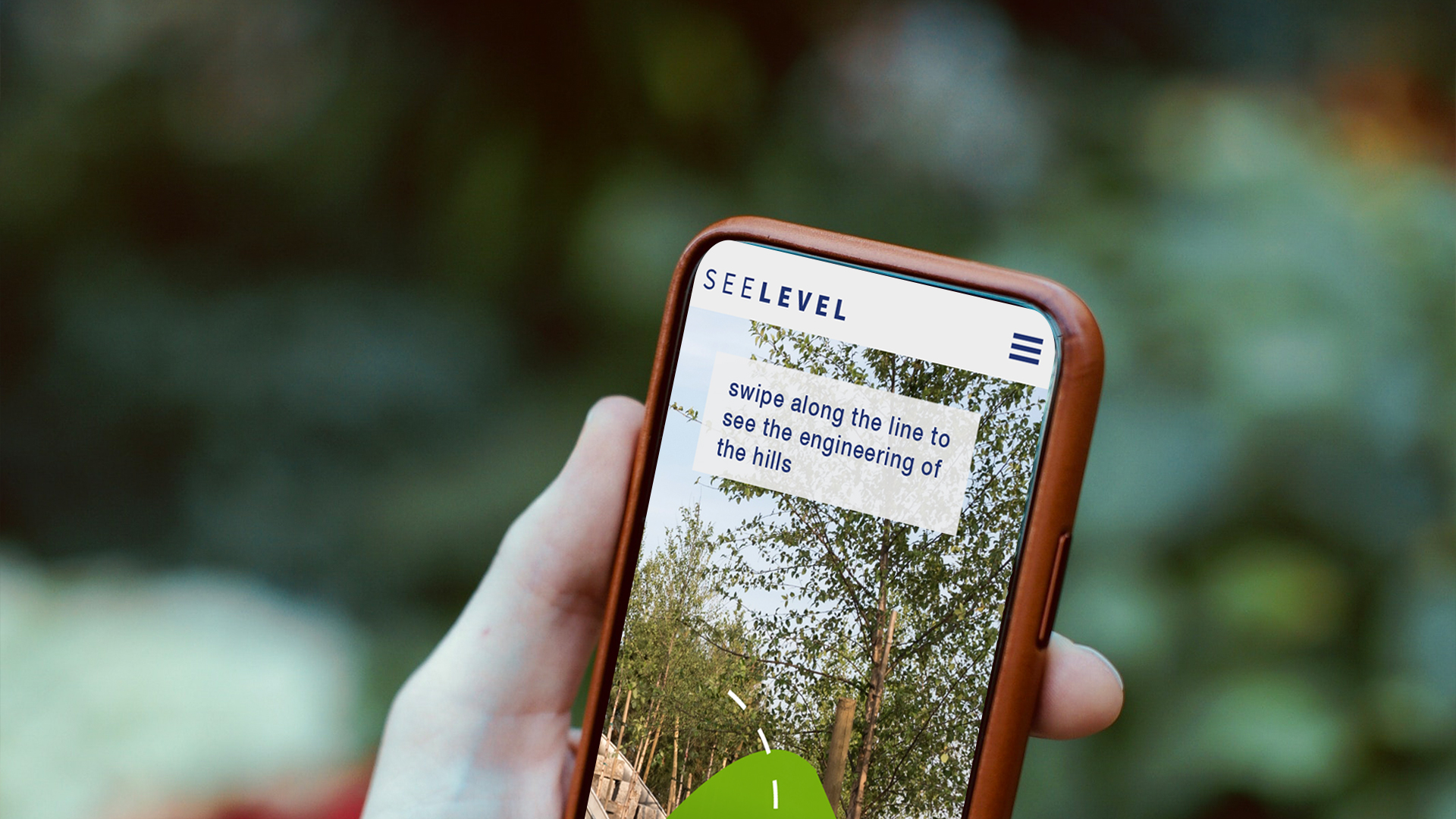
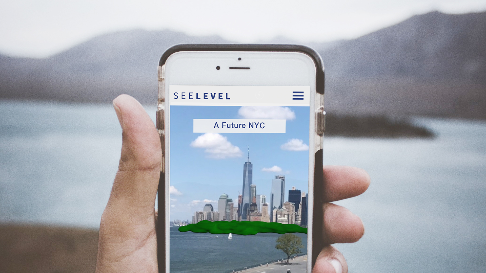
See Level is an AR app that explores how Governors Island has been engineered to fight climate change.Visitors will experience rising sea levels first-hand, see geoengineering inside “The Hills” and explore a new future for NYC.
In collaboration with Lauren Malkani & Aarati Akkapedi
In partnership with NYC Media Lab & Havas Media
VIDEO


THE PROMPT


The team explored several prompts for the project that came out through research on Governors Island, the effects of climate change in New York City. and user tests in Augmented Reality.
HURRICANE SANDY + RISING SEA LEVELS

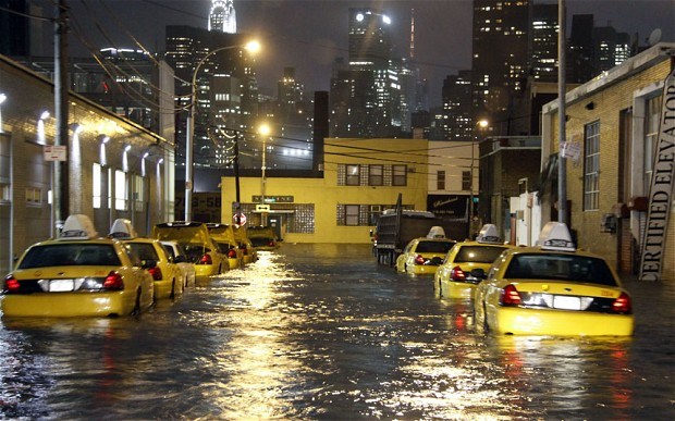

In 2012 hurricane sandy hit the east coast and just in NYC there were 48 deaths, $19 Billion in damages and 395 thousand homes were re-zoned as being in flood areas, which in the future could mean a lot of displaced residents.
Scientists predict up to 6 feet of sea level rise in the next 100 years which poses a serious threat to coastal cities like NYC.
We wanted to avoid the doom and gloom conversation that exists in discussions about climate change and talk about it through the lens of a possible solution.
The solution we found was within Governors Island, its projects on fighting climate change as well as its history.


BUILDING AND ISLAND
The original island (left) was significantly smaller in 1910 and since been built up using the spoils of construction of the subway tunnels in New York City.
In 2003 the island was given to the city of New York and plans for its development went underway. The architect discovered the island was below Sea Level and would take only one storm for it to be blown away. He later appealed to the city to increase the budget in order to elevate the land.
The island later introduced the hills which rises 70 feet above sea level which uses geo-engineering using natural architecture and systems to fight storms and floods. The hills later protected Governors island from Hurricane Sandy in 2012 with only 1 tree falling down, a minor damage compared to the city of New York. This later led to city of New York starting projects on the island to help New York fight climate change in the future.
PERSONA


We started exploring possible users who visit Governors Island based on visit statistics and produced 3 personas that would be our target user for the AR Experience.
USER JOURNEY


We explored 3 possible User Journeys based on linear, non-linear and guided structures incorporating the problem, solution, action flow. We later decided on using User Journey 3 in order to have flexibility for our users and give focus on the story we are telling.
NON-INVASIVE AR EXPERIENCE


Because Governors Island has a beautiful landscape free from skyscrapers, we found it challenging to implement an AR experience without being entirely glued to your phone.
The team tested different methods from sign posts to GPS positioning in order to create an experience that fluidly transitions from augmented reality to the physical reality. After observing methods used in Museums, the team decided to use Idea #3 as the ideal implementation for a Non-Invasive AR storytelling experience.


USER FLOW
Through a sign upon arrival in Governors Island, Users would be prompted to download the app when arriving at Outlook Hill and from there they can engage with several AR experiences.
As users are engaging with these experiences, they have the option to share a photo either on social media or with a local representative.
So the three AR experiences in our app are The Flood, The Hills, and the Augmented Skyline
The flood experience is about allowing users to see sea level rise in realtime
The Hills are about showing users how they are standing on a potential solution
And The Augmented Skyline is about exploring a new future for NYC

SEE LEVEL TEAM
Parsons Team: Paolo, Aarati, Lauren,
Havas Mentors: Gonzalo, Stuart & Joe